
| Client: | Leicestershire County Council |
| Sector: | Commercial |
| Location: | Leicester |
| Disciplines: | Geomatics |
Project Overview
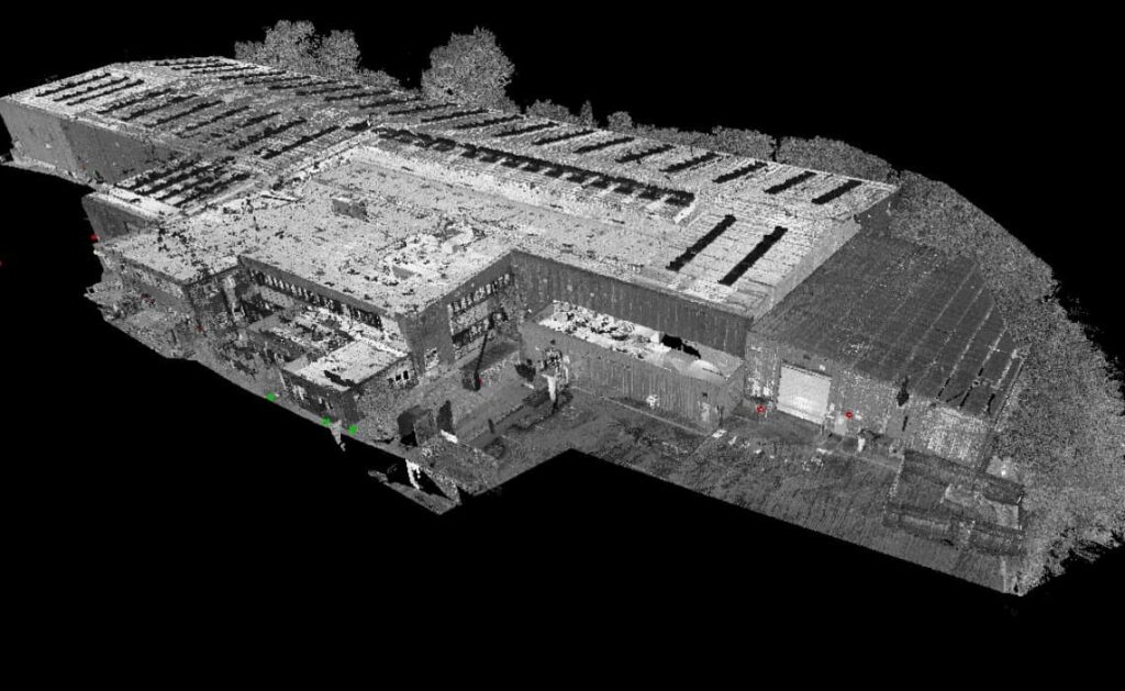
Leicestershire County Council commissioned MEC to provide a complete suite of data for the proposed works to expand their eastern annex building; this included a topographical survey, measured building survey and a PAS128 underground utility detection survey.
To achieve the best results for the client, multi-skilled personnel from the Geomatics team utilised a range of state-of-the-art equipment, which included; our Leica 3D laser scanner, a network RTK GNSS Rover and a TS16 precision total station which supported and met the client’s brief, whilst reducing survey time to just four days on-site and disruption to existing site staff.
.png)