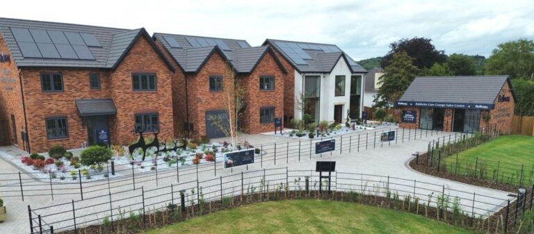
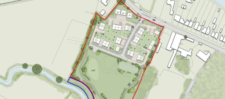
MEC supported Clarendon Land & Development in securing outline planning...Read More
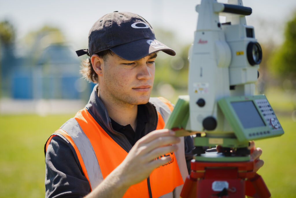
Our Geomatics team provides accurate, reliable surveying and mapping services to support development from initial appraisal through to construction and completion. Working across residential, commercial, industrial and private sector projects, the team delivers high-quality data to inform design, planning and delivery. Using the latest equipment and digital modelling software, MEC produces clear, precise outputs that help identify constraints, reduce risk and support efficient project progression.
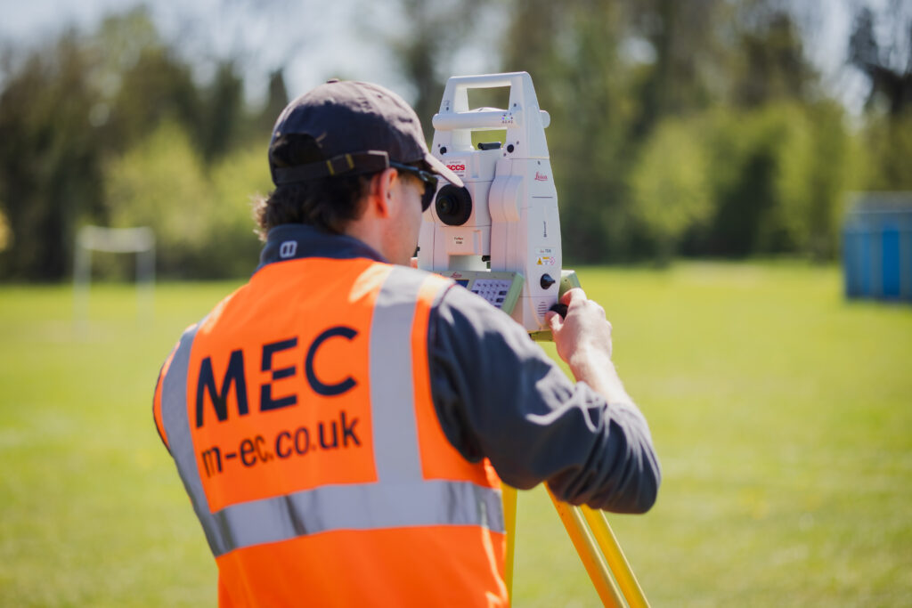
Topographical surveys provide detailed and accurate information about a site’s natural and built features. MEC captures key data including boundaries, levels, structures and surface features to produce clear plans suitable for design and planning purposes. These surveys form the foundation for many development projects, helping design teams understand site constraints and develop practical, informed solutions.
Measured building surveys
Measured building surveys provide accurate representations of existing structures, including floor plans, elevations and sections. MEC supports a wide range of projects, from residential properties to large commercial and heritage buildings, delivering precise data to inform refurbishment, redevelopment and design. Our surveys help clients fully understand existing assets and support efficient project planning.
Underground utilities mapping
Understanding the location of underground services is essential for safe and efficient development. MEC provides detailed utility mapping in line with industry standards, identifying the position and depth of buried services. This information reduces risk during construction, supports site planning and helps prevent costly delays or damage to existing infrastructure.
Engineering surveys
Engineering surveys provide critical data throughout the construction process, from initial setting out through to as-built verification and monitoring. MEC supports projects at every stage, ensuring that designs are accurately translated onto site and that works are delivered in line with specifications. This helps maintain accuracy, reduce errors and support efficient construction.
3D Laser scanning
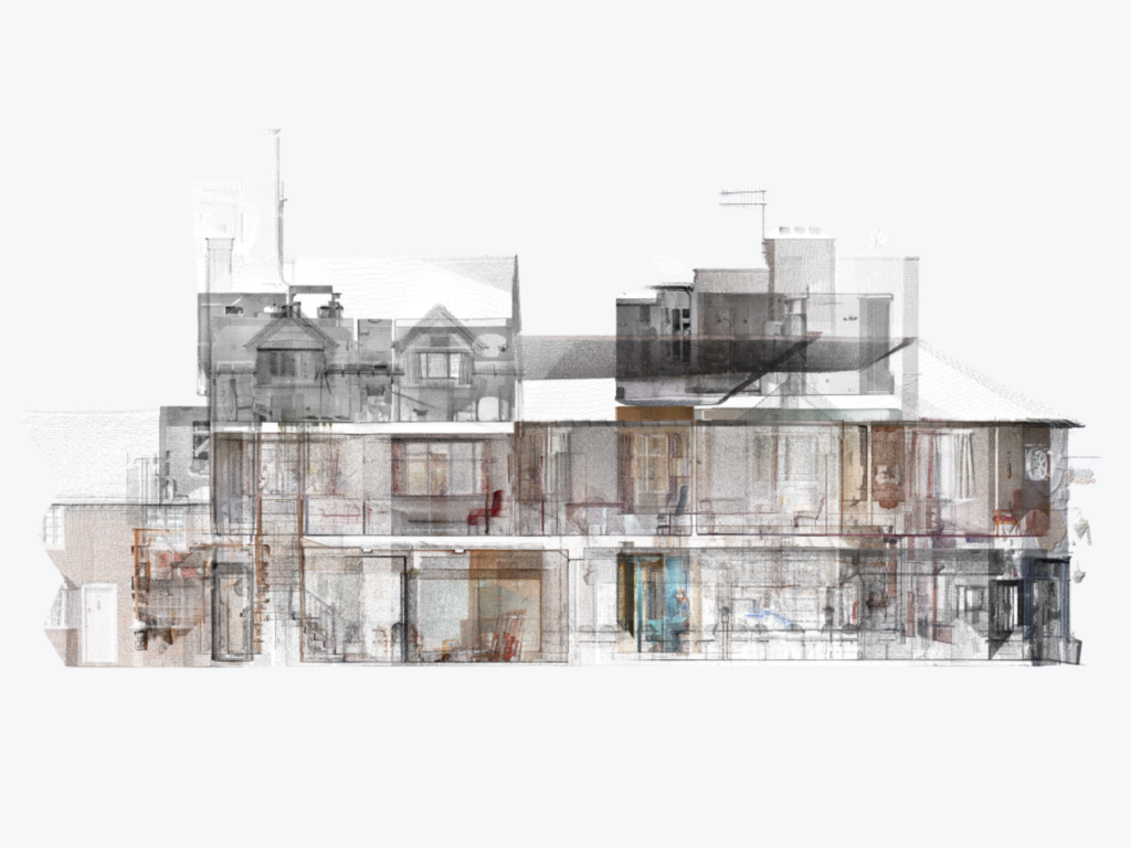
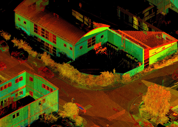
3D laser scanning captures highly detailed digital representations of sites and structures, producing accurate point cloud and model data. MEC uses this technology to provide precise measurements in complex or inaccessible environments, supporting design, analysis and visualisation. This approach improves accuracy while reducing time on site and enhancing project understanding.
UAV Surveys
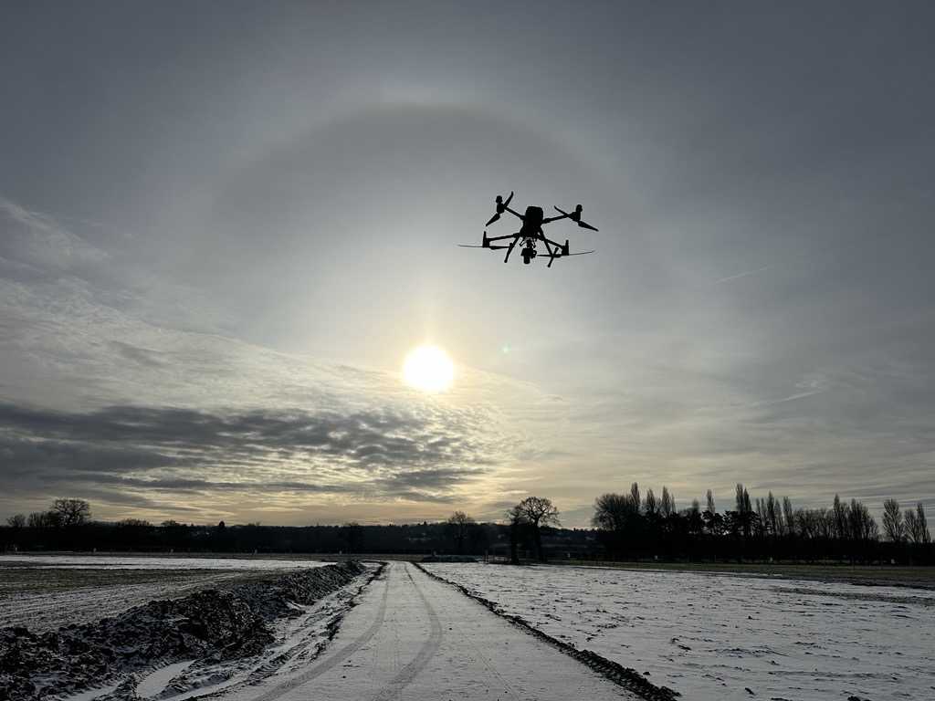
Drone and aerial surveys allow rapid data capture across large or difficult-to-access sites. MEC’s team uses advanced drone technology to produce high-resolution imagery, terrain models and mapping outputs. This data supports planning, design and monitoring, providing a clear and efficient overview of site conditions and progress.